🏔️

2026–2027 season: our tours start in late November / early December.

🎉

Last 2 spots for the Cerro Castillo Circuit — New Year Special (Dec 31 – Jan 03).

👆

How to view them: Tap a photo to open it in 360° and drag with your finger or mouse to look in every direction. Each view only downloads when you open it (1 to 2 MB), to save your mobile data.

Cerro Castillo Circuit in 360°

Four days and 57 km crossing the park from end to end. These views cover the end of day 1 and the day 2 walk up to El Peñón Pass. See the full trek →

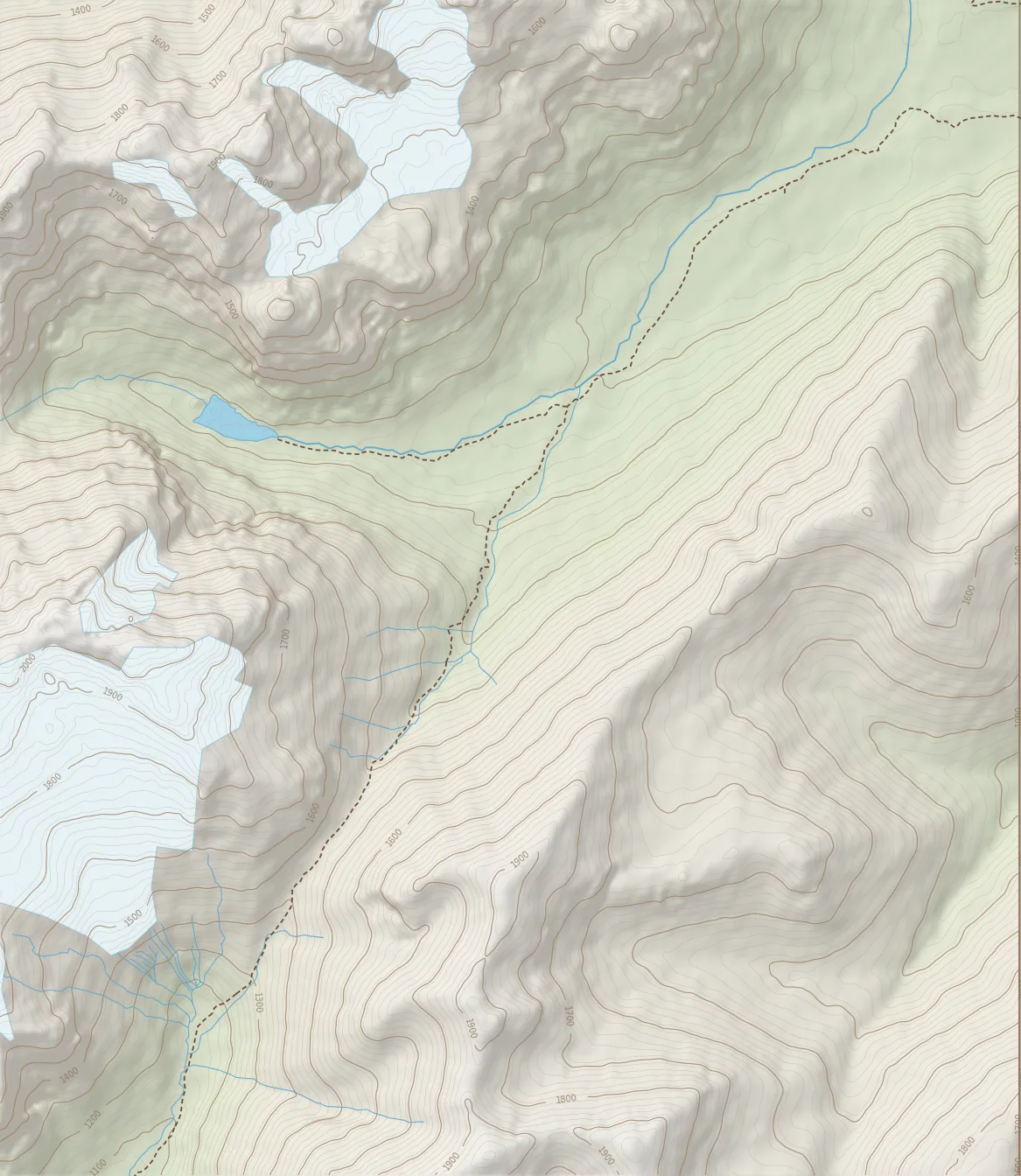
Route map

Location of each 360° view on the trail, between Río Turbio Camp and the El Peñón Pass viewpoint (about 5.3 km). Contour lines every 20 m.

Terrain: SRTM (NASA) via AWS Terrain Tiles · Trails and water: © OpenStreetMap contributors

01 · Day 1 · end of the day

Río Turbio Camp

~16 km from Las HorquetasFirst night

This is where the first day of the trek ends, about 16 km from the Las Horquetas sector at km 70 of the Carretera Austral. The day crosses open pampas, where gauchos still live, and several rivers that we ford in river sandals. The camp sits inside a lenga beech forest, sheltered from the wind, with a rustic toilet. It is the first night in the tent and the starting point toward El Peñón Pass.
02 · Day 1 · the first night

Río Turbio Camp tent area

Tent sites under lenga treesWooden tables

Another view of the same camp, taken from one of its wooden tables. This is where the tents go up on the first night: flat ground under a lenga beech forest, shade during the day and room for the whole group. Here we have dinner, rest and pack for the El Peñón Pass day.

03 · Day 2 · first kilometers

Río Turbio Valley

Easy terrainViews of the park's peaks

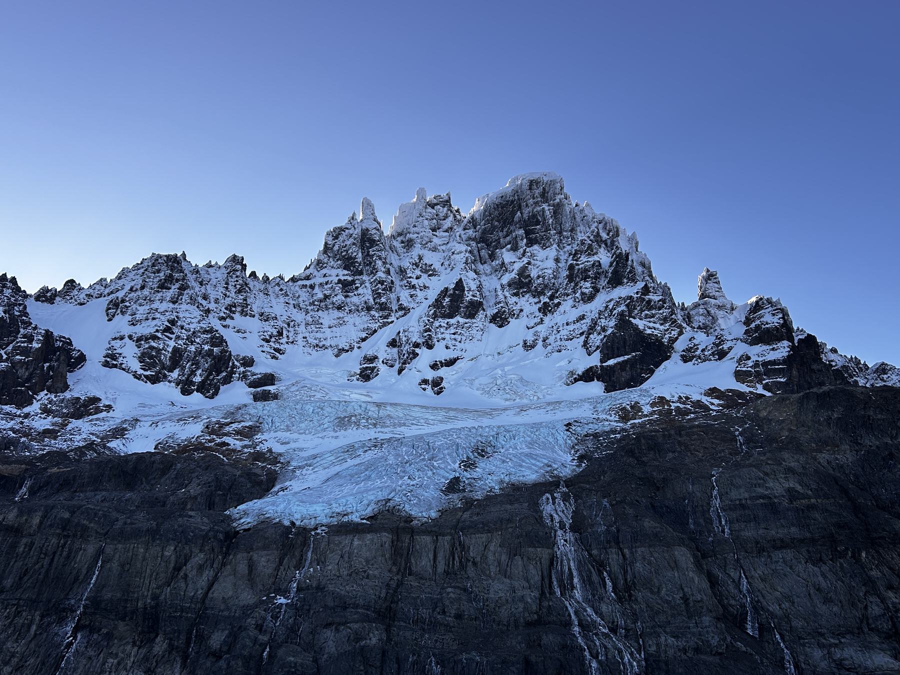
Day two starts along the Río Turbio valley, between grasslands and the wide stony riverbed. Ahead rise the rock walls and hanging glaciers that announce the high part of the route. It is an easy-paced stretch, perfect for warming up before the climb. Look around: on one side the lenga forest, on the other the open valley.

04 · Day 2 · ascent

Climb to El Peñón Pass

Loose-rock screeToughest stretch

Before the pass, the trail leaves the forest and enters a scree field: slopes of loose rock where we climb at a steady pace with short breaks. It is the most demanding stretch of the day. Your guides set the pace so the group moves together, and trekking poles make a real difference on this terrain.

05 · Day 2 · 1,300 m

Snow at El Peñón Pass

First high pass of the trekEarly-season snow

El Peñón Pass, at 1,300 m above sea level, is the first of the two high passes of the trek; the second, and the highest, is Morro Negro Pass, crossed on day 3. This photo was taken on December 19, 2025: early in the season there can still be snow at the pass, and it is part of the experience. Up here the Patagonian wind makes itself felt, so windproof layers and gloves are always within reach. Look around: rock towers on both sides and, in the distance, the snowy peaks of the park.

06 · Day 2 · toward the descent

El Peñón Pass Viewpoint

Hanging glaciersTechnical descent

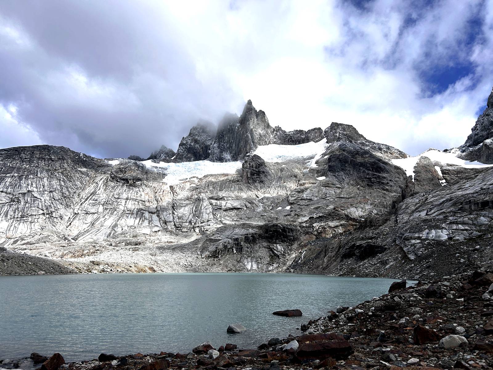
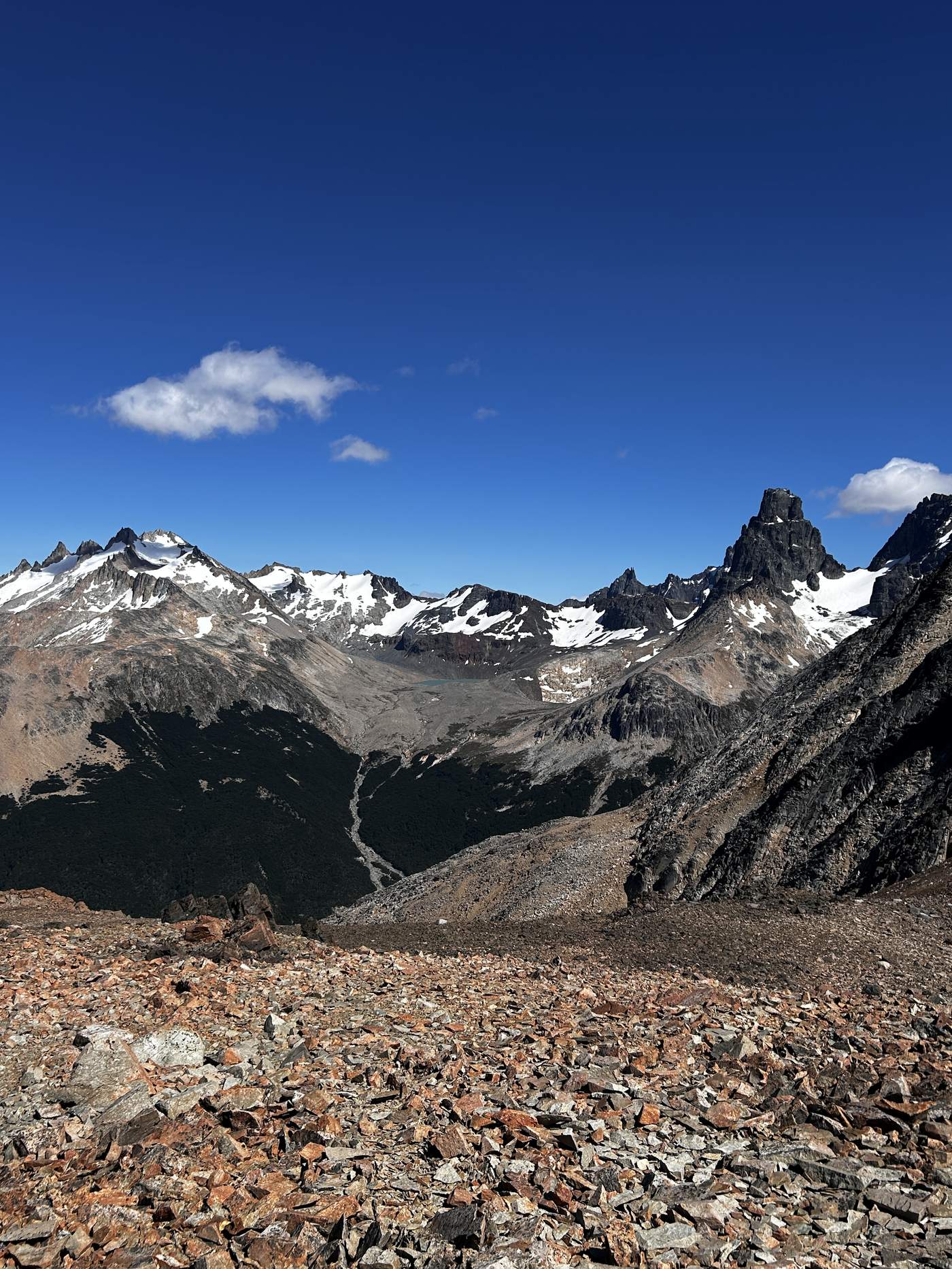
From the pass, one of the widest views of the route opens up: hanging glaciers, jagged rock spires and a deep valley stretching to the horizon. After the pass comes the descent to El Bosque Camp, a technical stretch over scree and exposed to the wind, taken calmly and carefully. By the end of the day you have covered about 10 km and crossed the heart of the park.

Can you picture yourself there?

Walk these same places with local guides from Villa Cerro Castillo. Departures from December to March, with a minimum of 3 and a maximum of 8 people.

We are adding new 360° spots from other routes in the park. Follow us on Instagram.

Cerro Castillo Circuit

4 days · 57 km · Min. 3 people

Quote